
The UltraGeographicMap™ control allows you to display data that contains geographic locations from view models or geo-spatial data loaded from shape files on geographic imagery maps.
This topic contains the following sections
The following table summarizes the features of the UltraGeographicMap control. Additional details are available after the following summary table.
For more details please visit:
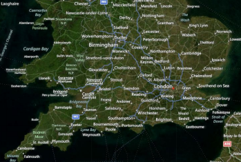
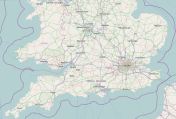
The UltraGeographicMap control allows you to render geographic imagery from Azure Maps™ and Open Street Maps .
The following are preview of the UltraGeographicMap control with maps from different geographic imagery sources
Related Content:
The UltraGeographicMap control’s Series property is used to support rendering an unlimited number of geographic series. This property is a collection of geographic series objects and any type of geographic series can be added to it. For example, GeographicSymbolSeries can be added for plotting geographic locations such as cities and the GeographicPolylineSeries for plotting connections (e.g. roads) between these geographic locations.
Related Content:
In the UltraGeographicMap control, the ShapefileConverter class loads geo-spatial data from shape files and converts it to a collection of ShapefileRecord objects. Geographic series can be bound to this collection and render geo-spatial data.
Related Content:
In addition to rendering data from shape files and geographic imagery maps, the UltraGeographicMap control also provides data binding to other data sources with geographic data using the data binding and data mapping properties of geographic series.
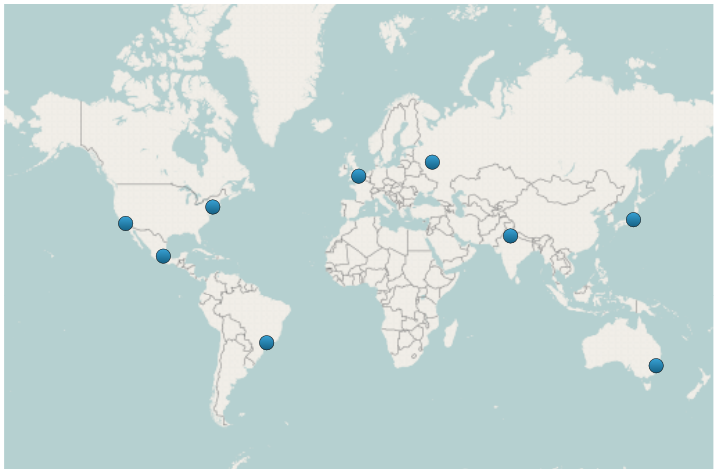
The following is a preview of the UltraGeographicMap control with GeographicSymbolSeries bound to a data model that contains locations of some cities of the world.
Related Content:
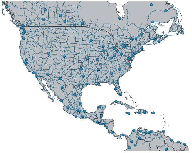
The UltraGeographicMap control provides plotting of tens of thousands of data points, and updates them every few milliseconds so that the control can handle your real-time feeds.
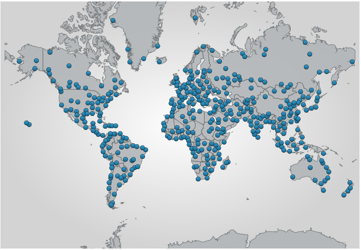
The following is a preview of the UltraGeographicMap control with GeographicSymbolSeries bound to a data source with hundreds of data points.
Related Content:
The UltraGeographicMap control provides customizable navigation behaviors for navigating map content using mouse, keyboard, or code-behind.
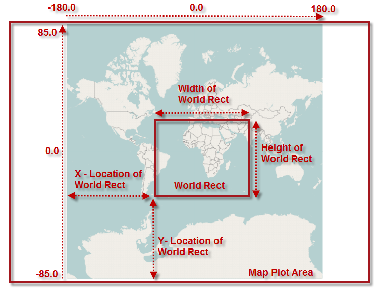
The following is a preview of UltraGeographicMap control with highlighted position and size of the WorldRect when zoomed to some region of the map content (e.g. Africa and Europe continents).
Related Content: